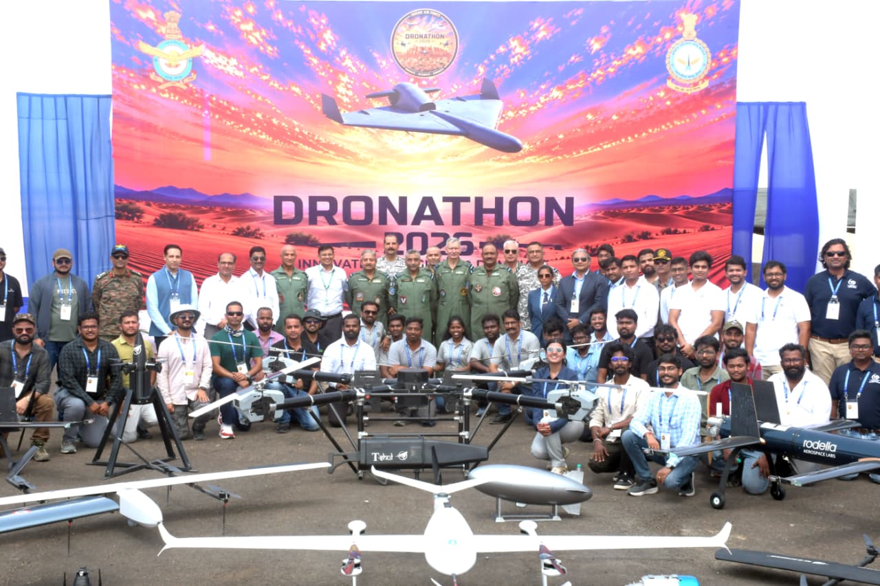
At Pokhran on 14 September the Indian Air Force ran a ground system that did not fire anything. Vayu UTtaM, described by PIB as an indigenous multi-mode unmanned traffic management suite, detected and tracked military and civil unmanned aircraft in the same real-time picture. The IAF said the job is coordinated management of crowded low airspace and help in spotting machines that do not belong. Officials added the same layer could matter for civil aviation, critical infrastructure and public safety. That sentence is the story. Airports already close for a sighting they cannot classify. Amritsar diverted seven flights in September on an IAF call about objects that later looked like cameras. Hanover, Tan Son Nhat and Vilnius have paid the same tax. A defence range demonstration becomes an airport problem the moment the question is not 'can we see a drone' but 'can we tell a licensed survey aircraft from a rogue one before the runway is frozen'.
Unmanned traffic management is the missing ATC language. Manned aviation lives on flight plans, transponders and known callsigns. Drones live on apps, exemptions and silence. Digital Sky and remote identification were built for permission. They were not built for a mixed military-civil bubble around a base that also feeds a civil airport. Vayu UTtaM’s claim is multi-mode fusion. Track both categories. Keep the authorised ones in a managed lane. Flag the rest for someone who has legal authority to act. The hard part is not the display. It is who owns the track after it appears. Airport operator, AAI, DGCA, police, CISF, IAF or a joint cell. How fast a civil tower can see the same plot the range saw at Pokhran. What evidence standard reopens a runway when the object might be a wedding camera ten kilometres away. Identification and timely mitigation. It did not publish a kill chain. That caution should travel with the system if it ever sits beside a passenger terminal.
India’s drone industry is growing faster than its airspace grammar. Delivery trials, survey work, wedding videos and military training now share the same low slice of sky. Without a common picture, every unidentified track becomes a full stop. With a common picture that civil and military units actually trust, a first-time flyer at Jammu and a fighter recovery at a dual-use field can keep moving while the unknown is sorted. Dronathon put airspace management on the same agenda as airframes. The test after the range is institutional. Will Vayu UTtaM talk to airport surface systems and Digital Sky. Will AAI and DGCA get a civilian interface that does not require a classified brief. Will false tracks be logged so the next closure has a better threshold than a phone call. The next drone battle at an Indian airport may be decided in a traffic-management room, not on a runway. Pokhran showed a picture. The country still has to decide who is allowed to look at it when passengers are already holding.